Using maps, early photographs and even drawings and paintings, Connecticut Sea Grant, a joint program of the National Oceanic and Atmospheric Administration and the University of Connecticut; UConn’s Center for Land Use Education and Research; and the state Department of Energy and Environmental Protection, experts can now get a better idea of how much the state's shoreline has changed since the 1880s.
A pair of interactive maps show how much shoreline each coastal town in Connecticut has gained or lost per year and in total since circa 1880.
Many towns have gained large amounts of shoreline since the 1880s, in large part thanks to projects that filled in waterways. Cities like Stamford, Norwalk, Bridgeport and especially New Haven, which have large harbors, saw a large increase in shoreline in the past 130 years.
However, despite actually gaining shoreline overall throughout almost every coastal town and city, there has been a drastic drop in shoreline every year since 1983.
The study poses three theories to the drastic loss of shoreline in the last 30 or so years: filled-in marshes covered up in the late 1800s through the mid 1900s cannot absorb as much water; man made seawalls are causing erosion; climate change has caused the seas to rise.
For example, New Haven has gained 166.23 meters of shoreline since 1880 -- by far the most in Connecticut -- thanks in large part to the construction of Long Wharf during World War II. The study theorizes whether that man made change of the shoreline has affected eastern Connecticut which is losing up to a meter of shoreline per year since 1983.
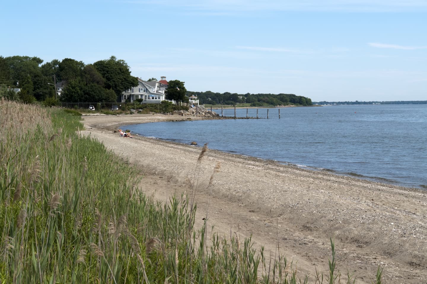
Check out the changes in shoreline for Fairfield County towns below:
Greenwich: Gained 15.04 meters of shoreline since 1880; gained 1.21 meters since 1983.
Stamford: Gained 17.34 meters of shoreline since 1880; lost 1.91 meters since 1983.
Darien: Gained 6.24 meters of shoreline since 1880; gained 0.29 meters since 1983.
Norwalk: Gained 23.04 meters of shoreline since 1880; gained 1.33 meters since 1983.
Westport: Gained 4.88 meters of shoreline since 1880; lost 3.9 meters since 1983.
Fairfield: Gained 8.87 meters of shoreline since 1880; lost 5.12 meters since 1983.
Click here to see the full Connecticut Mirror study.
Click here to follow Daily Voice Wilton and receive free news updates.