
Between 3 to 6 inches of snow was expected to fall before it changes over to freezing rain and plain rain by Saturday afternoon, the National Weather Service. A Winter Weather Advisory will continue until 2 p.m. Saturday.
Ice accumulation of about a tenth of an inch is also possible in the winter wonderland.
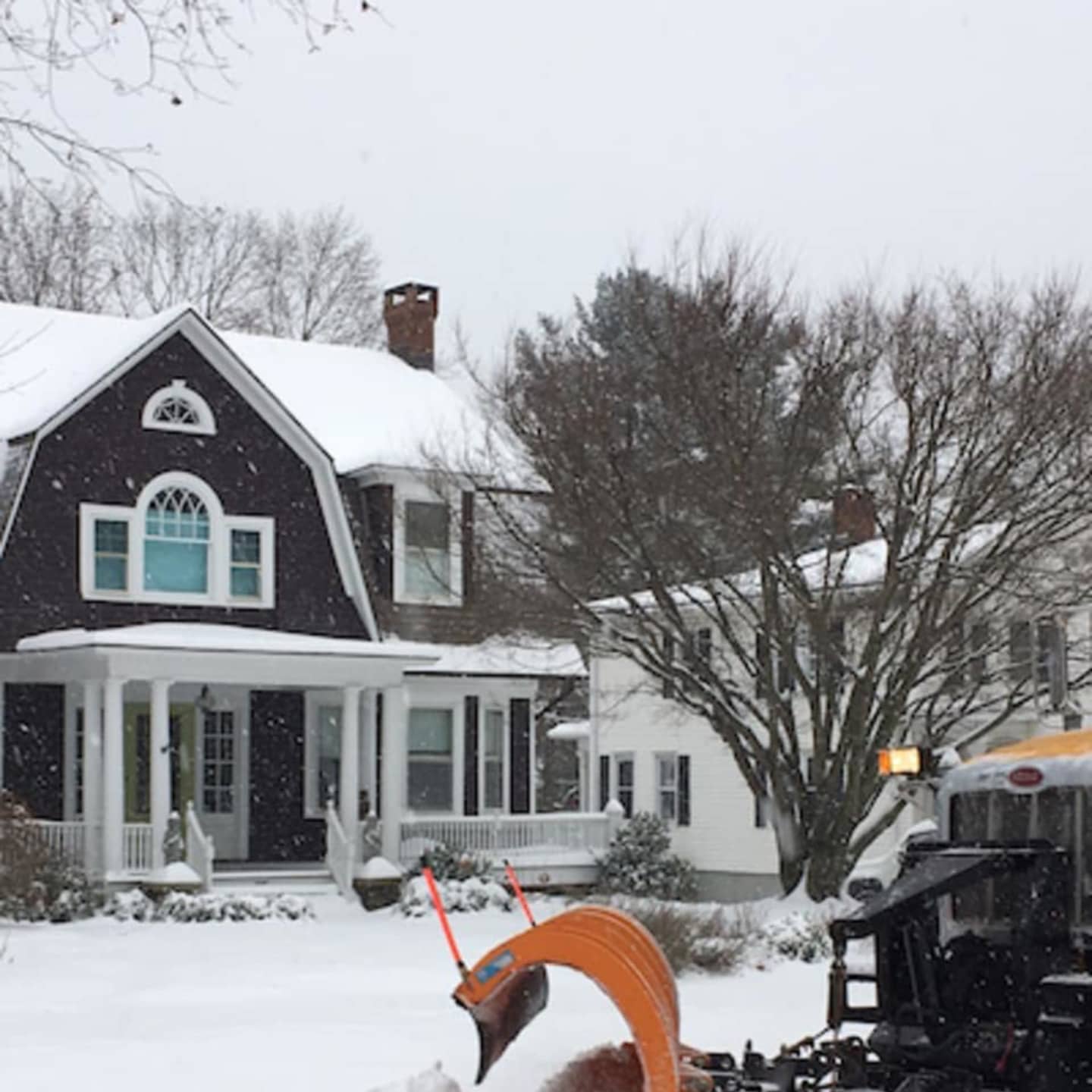
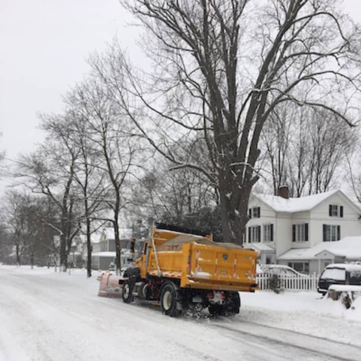
Motorists faced hazardous driving conditions Saturday morning with the steady snowfall and fog making for poor visibility. But plows were out on highways and surface streets starting to clear things up for shoppers anxious to head out for weekend and holiday preparations.
There was enough snow to shovel by late morning, but the rain may be enough to clear the driveway and sidewalks eventually. The changeover began in some areas around 11 a.m., with rain, snow, freezing rain, and sleet into the afternoon as temperatures warm into the mid-30s.
The rain will turn to patchy drizzle after 3 p.m with a high near 35.
Patchy drizzle and fog will continue into Saturday evening with a chance of light rain and temperatures rising to 44 degrees by early Sunday.
Rain will continue Sunday with a high near 53 degrees. It will be mostly cloudy into the evening with an overnight low of about 25 degrees.
Monday will be mostly sunny, with a high near freezing.
Click here to follow Daily Voice Wilton and receive free news updates.